We set out for Albuquerque on a clear cold morning. The thermometer in this part of New Mexico fluctuates wildly, rumor has it people need to buy the heavy duty kind around these parts, since otherwise environmental distasters re spilled mercury occur too frequently. Today's high 12 Celsius, tonite's low -10 Celsius.

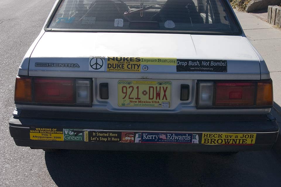
We first found our way to Old Town, the oldest part of the city, established in 1706. Today, this section of town consists of boutiques, art shops, coffee shops, with once again left leaning tendencies, so watch for an exposé on Fox News any day now. After posing next to a Hummer (owned by a church goer), Anne bought some gorgeous jewellery (after some hard bargaining). I, meantime, walked around the area and had a hearty laugh when a spotted a bumper sticker laden vehicle. 'Heck uv a job Brownie' was my favourite. We enjoyed a coffee and were on our way again, this time to Sandia Tramway.

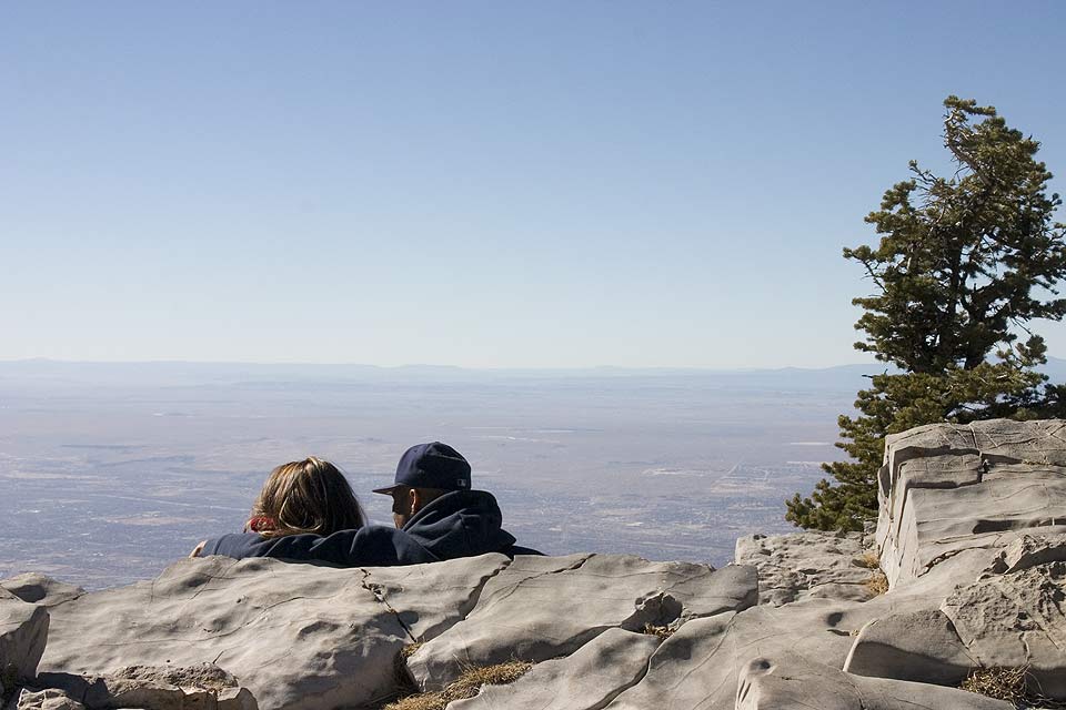
Sandia Tramway is a cable car (of course it has to include the widest span in the world), that takes you to the top of Sandia Mountain. The weather was perfect, on top it was 2 Celsius, but absolutely no wind and brilliant sunshine, so I think I was a little overdressed in my parka. We chose a safe 2 hour roun
 d trip hike to the very top, only to get to a parking lot, because you can drive up the other side of the mountain. Normally, this mountain get almost 3 meters of snow each winter season, but this year, the hills are closed, since they have received nary a trace. On the way up in the tramway we had a moment of silence for 16 people who died in 1955 when a Super Constellation flew in the side of the mountain. You can still clearly see the remnants of the plane scattered about the area.
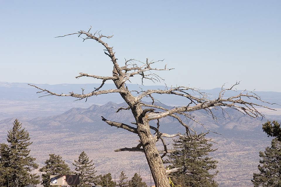
Next we drove to Santa Fe, about 80 km up the road from Albuquerque, where we found a Holiday Express, including hot breakfast for less than $40. Mexican Restaurant is where we are headed in a few minutes.
Most of the driving here is extremely simple. Virtually all road surfaces are in very good shape, and traffic is light so cruise control is used a lot. 75 mph is the speed limit on most freeways. Price of gas fluctuates around $ 2.30 for a gallon, which equates to $ 0.68 a litre Canadian.
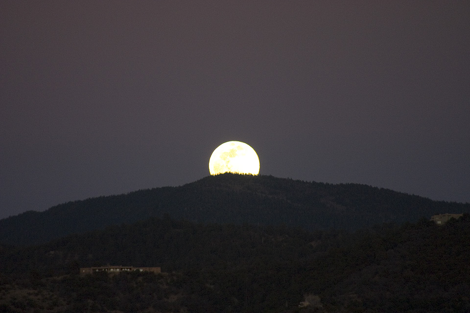
Since I knew a full moon would be arising, we decided to look for an elevated spot with a view to where the moon would breach the horizon. After a bit of searching, we found such a spot and waited, for what seemed to Anne to be an eternity. But sure enough, right in the spot predicted by Keith, a silvery moon rose over yonder horizon. Whether it as all worth it, I'm not sure, as the shot(s) were not all that great, but hey, it was worth a try.
I finally got around to uploading a KML file to my own website. What is a KML file you ask. Good question. You may have heard of Google Earth, a free software program from Google that uses satellite photos to show you virtually any place on earth. Now Google allows you to several neat things, one of which is to use coordinates to show a line from place to place. So what I did is use the coordinates from the logger, export them to a text file, fill in some other KML template stuff around them (much like XML, for those in the know). Now, after you download the KML file, and you've got Google Earth loaded on your computer, the 'movie' should replay, showing you exactly the route we took. (Note: you may to right click while hovering the mouse pointer over the download link and then choose 'Save Target As...'). It is best to have high speed internet access, otherwise Google Earth cannot keep up loading the pictures. Initially, it will show a static picture of the route we took, to play the movie press the blue right arrow button on the bottom of the 'Places' panel.
You can manipulate how fast the movie plays and the angle of incidence, or camera tilt. You do this by going to the 'Tools' menu of the main menu bar, then selecting 'Options', then clicking on the 'Control' tab. Now place a check mark in the 'Advanced' check box and more options will appear. Set camera angle to 50, set camera range to 1500 metres, and slide the speed slider to about 33%. Note that you cannot do this while the movie is playing: it will abruptly quit and you have to start all over again.
If you can, set the camera angle to 75, that way you get a nice horizon with sky and mountains, making it more realistic. I found, however, that using that setting, the movie will stop after a while, for reasons probably unknown even to the Google engineers. Have fun and let me know if you need any help.


No comments:
Post a Comment